Castiglione – Sassi – Cavoretto – Revigliasco – Maddalena – Pecetto – Pino – Superga
Sixty-seven kilometres and 1,538 metres of climbing on the cross-country bike, along the whole ridge of the Turin hill: down to the river first, then south above the city, and back north over the top.
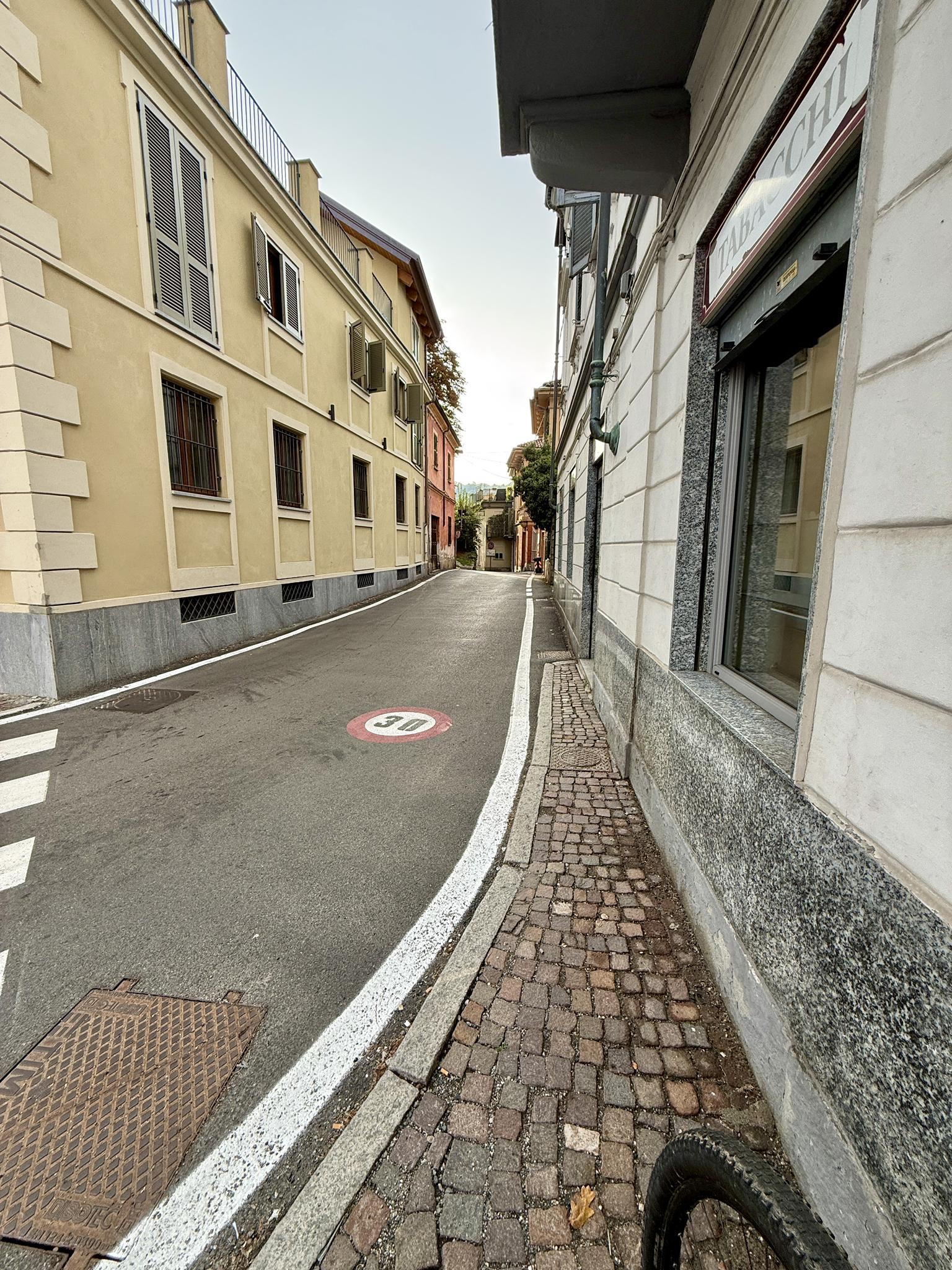
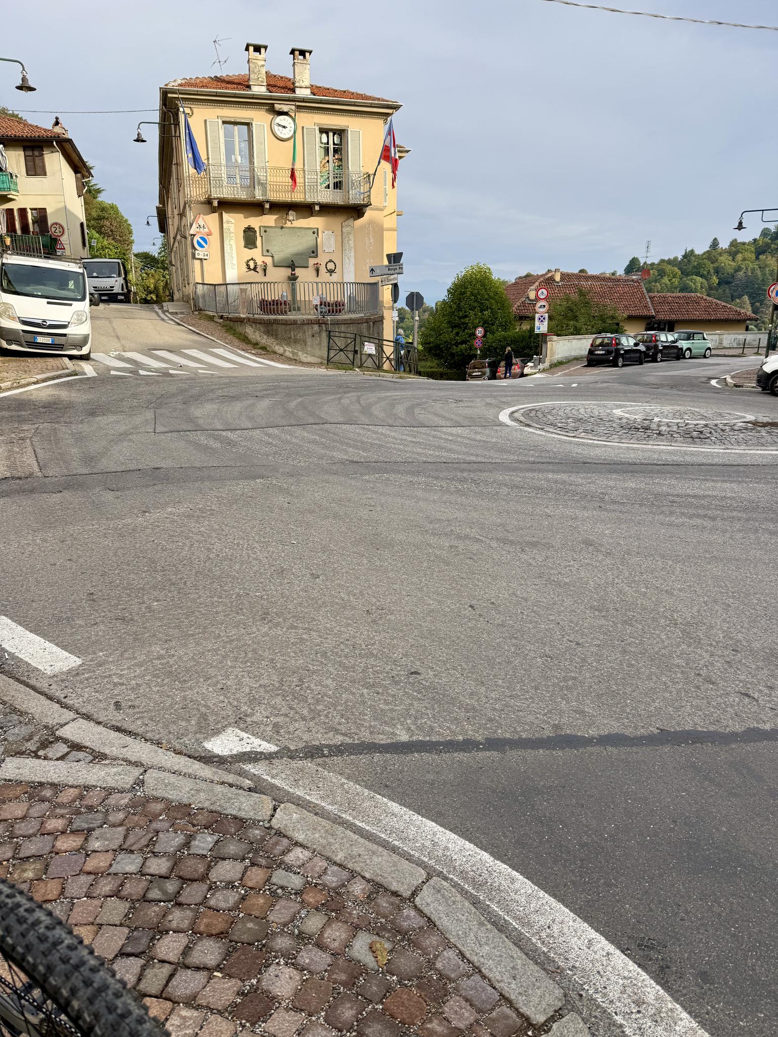
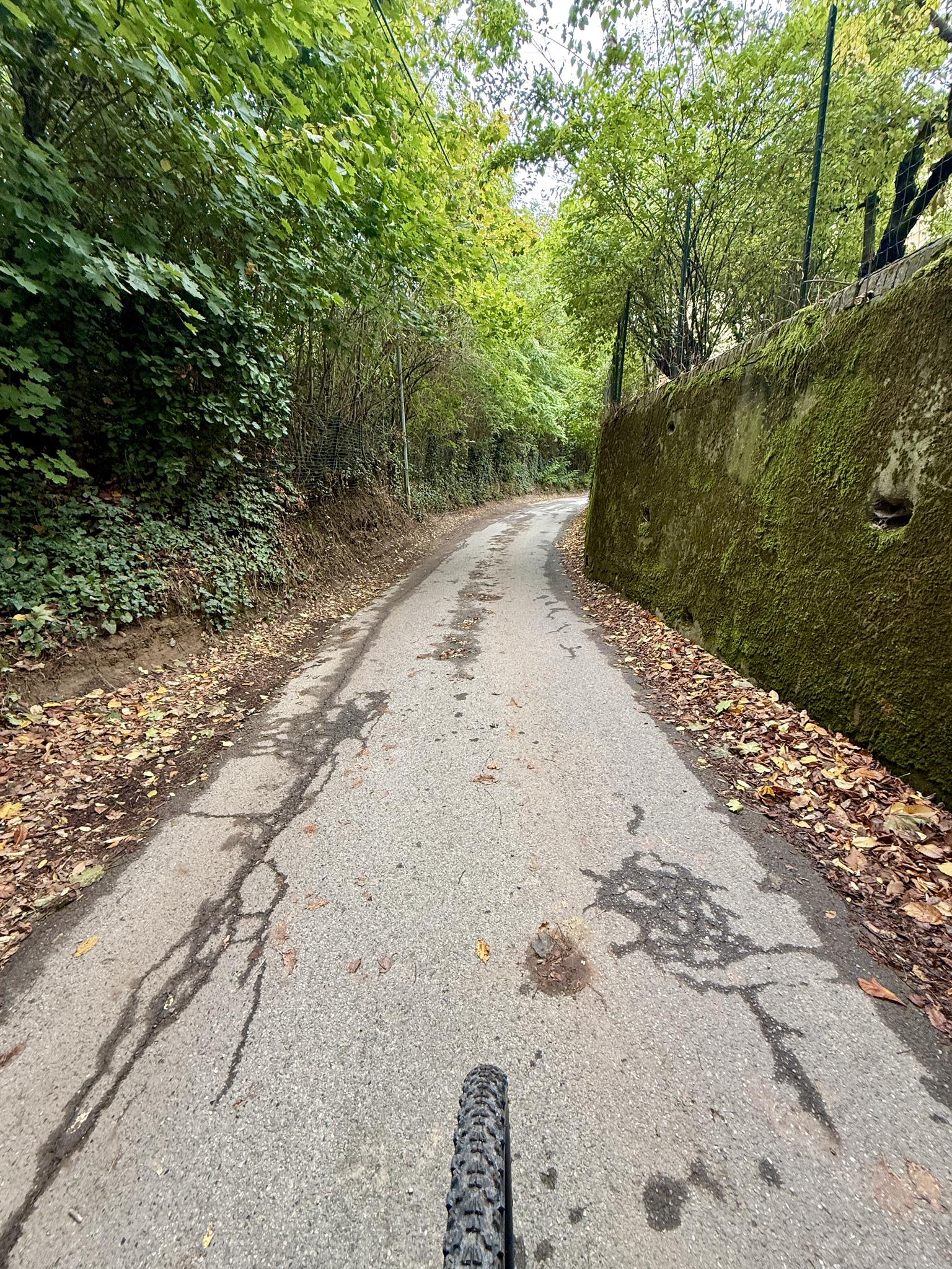
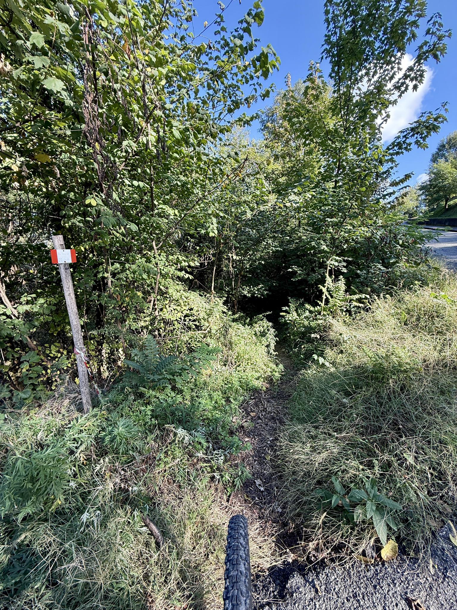
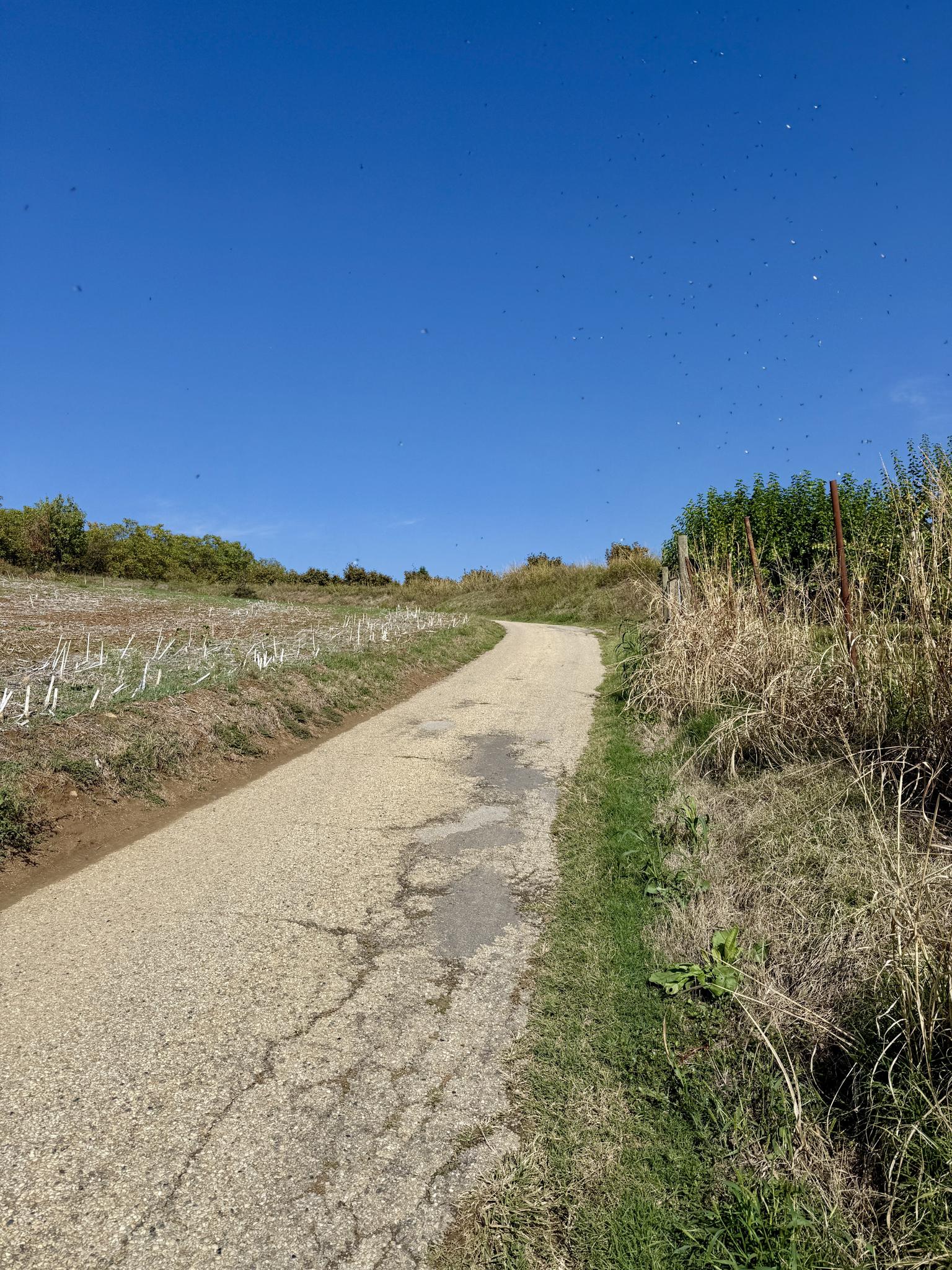
From Sassi, the lowest point of the day at about 200 metres by the Po, the road climbs to Cavoretto, an old village of the hill that the city has grown up around, and on to Revigliasco, a few streets and a square on a spur above Moncalieri. Most of the way is narrow lanes like these: tarmac cracked by roots, stone walls green with moss, and leaves gathering at the edges.
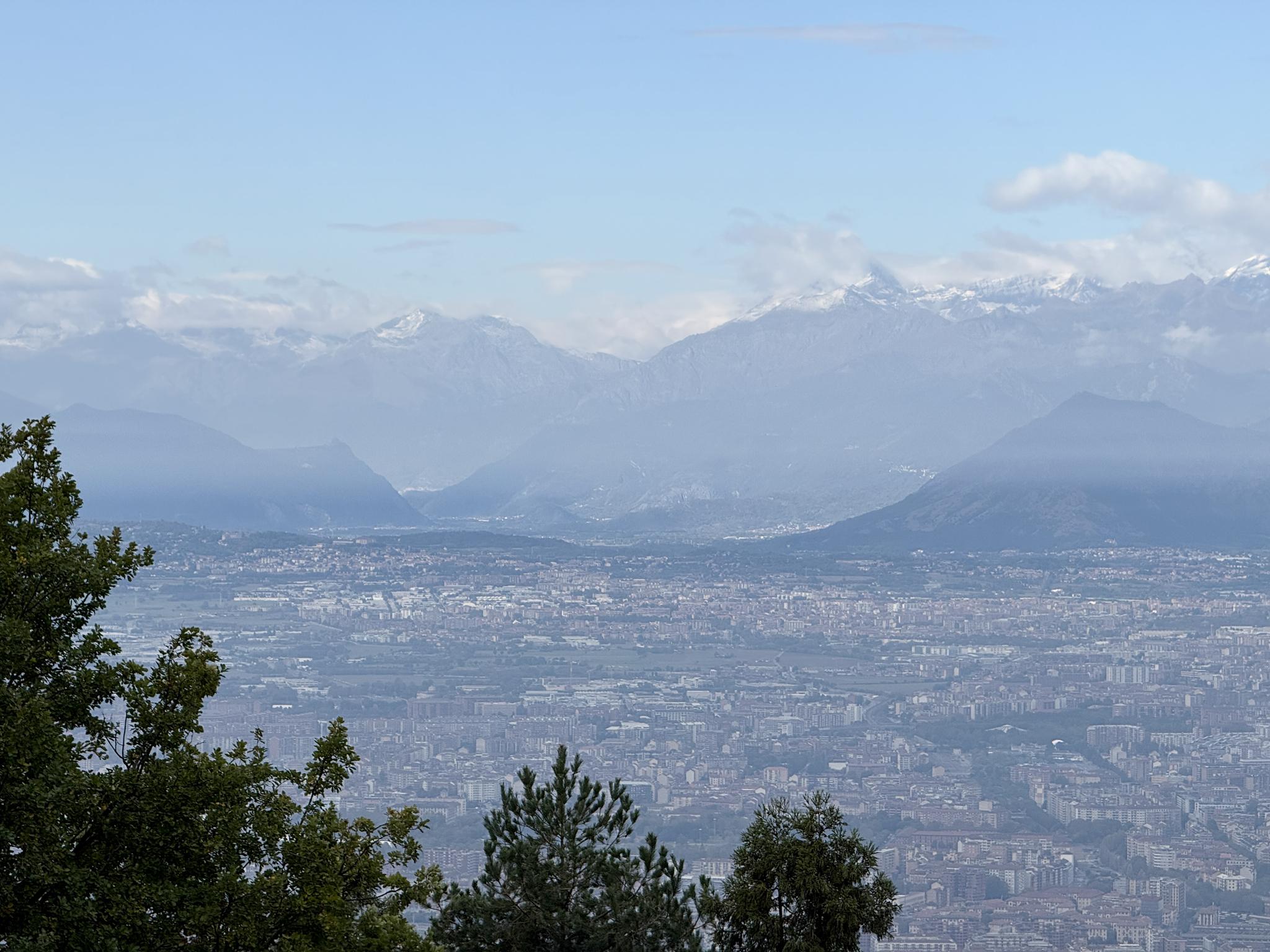
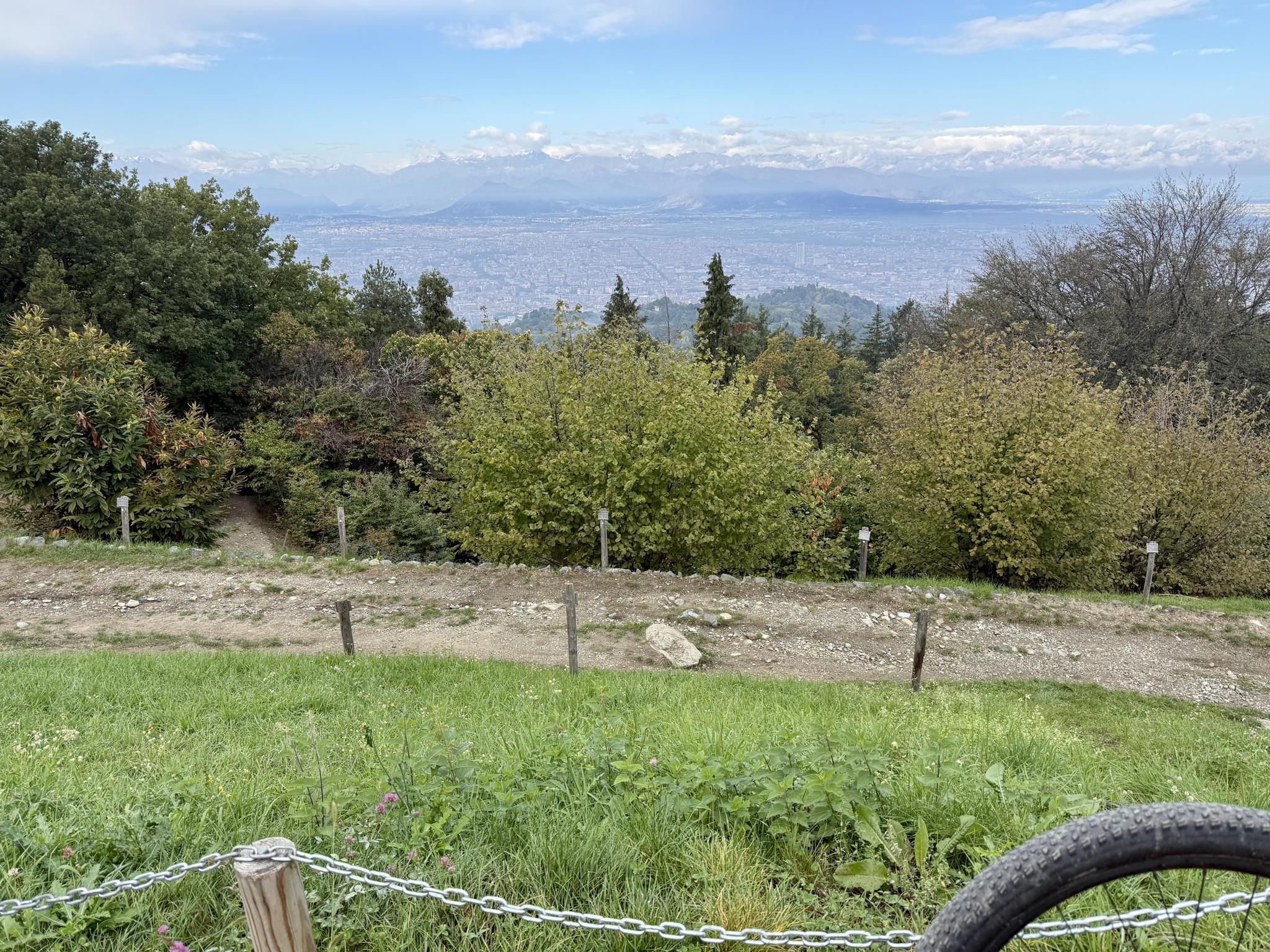
The high point, at about 715 metres, is the Colle della Maddalena. The Parco della Rimembranza has covered it since 1925, and since 1928 Edoardo Rubino’s bronze Victory has held up her lighthouse over the city. From the meadows around it the whole of Turin is laid out below, with the Alps already white along the horizon.
Then north along the top: past the orchards of Pecetto, where cherries have been grown for centuries, and Pino, whose astronomical observatory was founded in 1759, to Superga at the end, before the long descent off the hill.
Route

67.4 km · 1,538 m up · start and finish not shown